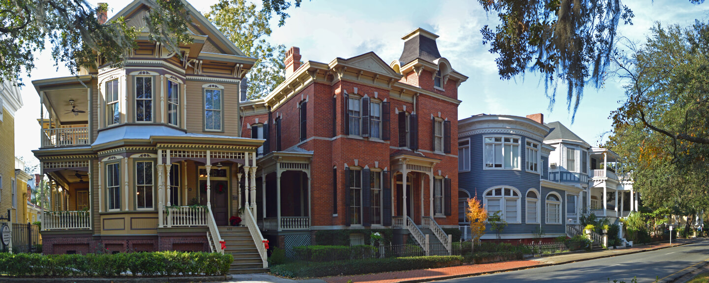
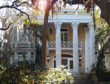
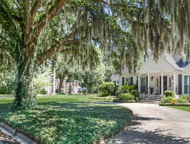
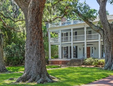
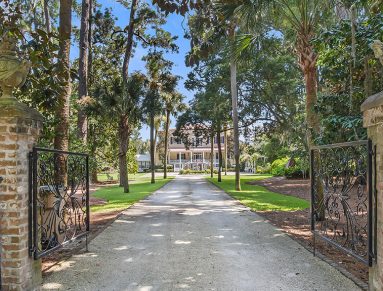
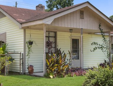
HISTORIC DISTRICTS
Savannah is not just the downtown Landmark District. Learn more about all 13 unique historic districts throughout Savannah and Chatham County. Whether you call one of these neighborhoods home, or you’re just staying for a visit, historic Savannah has a place for you.
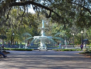
National Historic Landmark District
Learn More
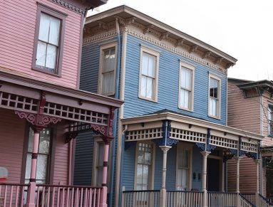
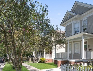
Savannah Victorian District
Learn More

Thomas Square Streetcar District
Learn More
Cuyler-Brownville
Learn More
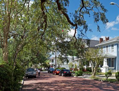
Ardsley Park/Chatham Crescent
Learn More
Eastside District
Learn More
Daffin Park/Parkside Place
Learn More
Gordonston
Learn More

Central of Georgia
Learn More
Fairway Oaks/Greenview
Learn More
Isle of Hope
Learn More
Vernonburg
Learn More
Carver Village
Learn More